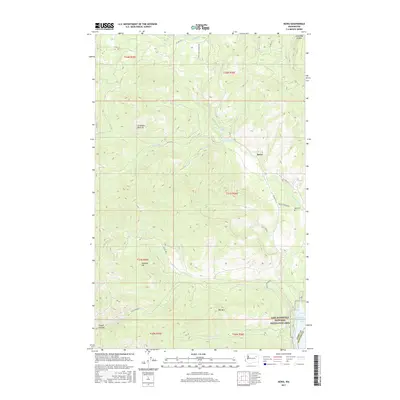
2017 Map of Kewa
USGS Topo · Published 2017About this map
Kewa sits along the eastern slopes of the Colville Reservation, where the terrain descends toward the extensive shoreline of Franklin D Roosevelt Lake. This modern topography illustrates the relationship between the elevated interior landmarks, such as Seymour Hill and Mid Mtn, and the water systems that drain toward the Columbia River basin. Local nomenclature like Longhairs Pasture and Stray Dog Canyon offers a glimpse into the regional vernacular, while the presence of the Kewa Cem near the intersection of Kewa Cemetery Rd and CO Hwy 53 provides a focal point for genealogical interest. The map also delineates the eastern boundary with Ferry and Stevens Counties, marked by the wide waters of the Lake Roosevelt National Recreation Area. Numerous drainages including Nez Perce Cr, Falls Cr, and Coyote Cr define the intricate network of canyons and ridges that dominate the township lines.
Find a feature on this map
33 named features on this map. Tap any name to fly to it.
Don’t see what you’re looking for? This feature index may not catch every label — zoom into the map to look around manually.
Map Details
Editions of this 2017 Kewa Map
This is the sole edition of this map. No revisions or reprints were ever made.
Other maps of this area

1948 · Hunters
USGS Topo · 1:62,500

1948 · Wilmont Creek
USGS Topo · 1:62,500

1950 · Wilmont Creek
USGS Topo · 1:62,500

1950 · Hunters
USGS Topo · 1:62,500

1950 · Inchelium
USGS Topo · 1:62,500

1952 · Twin Lakes
USGS Topo · 1:62,500

1954 · Okanogan
USGS Topo · 1:250,000

1956 · Wilmont Creek
USGS Topo · 1:62,500

1958 · Okanogan
USGS Topo · 1:250,000

1984 · Nespelem
USGS Topo · 1:100,000