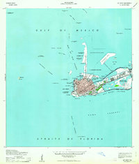
1971 Map of Key West
USGS Topo · Published 1977About this map
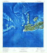
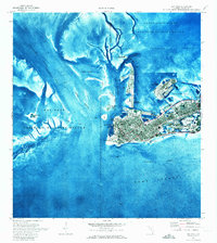
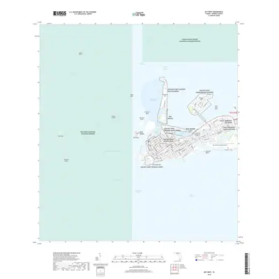
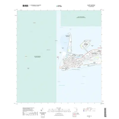
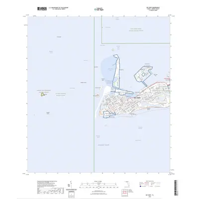
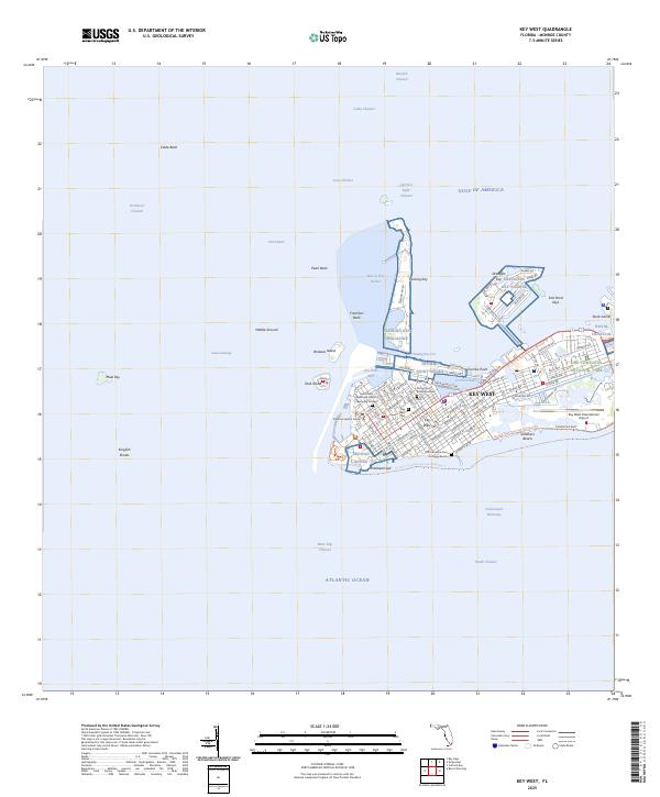
Key West is captured here as a dense urban island surrounded by the complex shoals and channels of the Florida Straits during the early 1970s. The city's grid is dominated by the City Cemetery at its heart and the defensive posture of Fort Taylor on its western tip. This orthophotomap combines traditional topographic lines with aerial imagery, revealing the intense land use and dredging that shaped Fleming Key and the northern U.S. Naval Reservation. Beyond the developed core, the map detail extends to the Key West International Airport and Stock Island, while highlighting the transition to the protected waters of the Key West National Wildlife Refuge. Boaters and historians can trace the intricate bathymetry of the Northwest Channel and Hawk Channel, alongside cultural landmarks like Mallory Dock and the White Street Pier.
Find a feature on this map
33 named features on this map. Tap any name to fly to it.
Don’t see what you’re looking for? This feature index may not catch every label — zoom into the map to look around manually.
Map Details
Editions of this 1971 Key West Map
2 editions found
Historical Maps of Key West Through Time
12 maps found
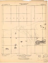
1921 Key West
Monroe County, FL
1943 Key West
Monroe County, FL
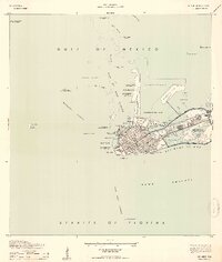
1962 Key West
Monroe County, FL
1971 Key West
Monroe County, FL
1983 Key West
Monroe County, FL

1989 Key West
Monroe County, FL
2012 Key West
Monroe County, FL
2015 Key West
Monroe County, FL
2018 Key West
Monroe County, FL
2021 Key West
Monroe County, FL
2024 Key West
Monroe County, FL
2025 Key West
Monroe County, FL