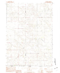
1982 Map of Keyapaha
USGS Topo · Published 1982About this map
Keyapaha sits near the northern boundary of this South Dakota survey, a landscape defined by the intricate drainage of Beaver Creek and Sand Creek. The area is notably marked by the Rosebud Indian Reservation Boundary, which cuts vertically through the western portion of the map, delineating the jurisdictional shift between Todd and Tripp counties. This rural landscape includes essential community anchors for local families, such as the Beaver Creek Sch and St Anns Ch. The presence of the Linden Pioneer Cem provides a specific point of interest for genealogists tracing early settlement in this part of the state. Transportation and utility are reflected in the isolated Huddle Landing Strip and a local Sand & Gravel Pit, indicating the dispersed nature of infrastructure in this high-plains environment.
Find a feature on this map
13 named features on this map. Tap any name to fly to it.
Don’t see what you’re looking for? This feature index may not catch every label — zoom into the map to look around manually.
Map Details
Editions of this 1982 Keyapaha Map
This is the sole edition of this map. No revisions or reprints were ever made.
Other maps of this area

1950 · Norden
USGS Topo · 1:62,500

1950 · Sparks
USGS Topo · 1:62,500

1952 · Norden
USGS Topo · 1:62,500

1955 · Martin
USGS Topo · 1:250,000

1957 · Valentine
USGS Topo · 1:250,000

1958 · Martin
USGS Topo · 1:250,000

1959 · Valentine
USGS Topo · 1:250,000

1982 · Keyapaha SE
USGS Topo · 1:24,000
1982 · Clearfield
USGS Topo · 1:24,000

1982 · Hidden Timber SE
USGS Topo · 1:24,000