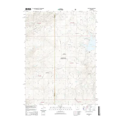
2015 Map of Keystone
USGS Topo · Published 2015About this map
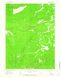
The high-altitude terrain of the Medicine Bow Mountains defines this portion of the Medicine Bow National Forest in southeastern Wyoming. The settlement of Keystone and the nearby cabins of Jays Roost are the primary focal points of human activity in an area otherwise dominated by complex drainage systems and forest service infrastructure. The map records a landscape carved by numerous waterways, including Douglas Cr and the multi-branched Devils Gate Cr. Water management is evident through substantial impoundments like the Rob Roy Reservoir and Thompson Reservoir. Historically significant corridors such as French Creek Rd and the Platte River Access Rd provide the primary means of navigating the dense topography. The presence of Moores Gulch and Flume Creek Park suggests a history of localized land use and natural resource management within the high timber.
Find a feature on this map
37 named features on this map. Tap any name to fly to it.
Don’t see what you’re looking for? This feature index may not catch every label — zoom into the map to look around manually.
Map Details
Editions of this 2015 Keystone Map
This is the sole edition of this map. No revisions or reprints were ever made.
Other maps of this area

1906 · Medicine Bow
USGS Topo · 1:125,000

1908 · Medicine Bow
USGS Topo · 1:125,000

1954 · Rawlins
USGS Topo · 1:250,000

1958 · Rawlins
USGS Topo · 1:250,000
1961 · Elkhorn Point
USGS Topo · 1:24,000

1961 · Overlook Hill
USGS Topo · 1:24,000
1961 · Horatio Rock
USGS Topo · 1:24,000

1961 · Medicine Bow Peak
USGS Topo · 1:24,000
1961 · Foxpark
USGS Topo · 1:24,000
1961 · Phantom Lake
USGS Topo · 1:24,000