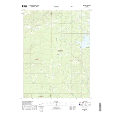
2017 Map of Keystone
USGS Topo · Published 2017About this map
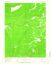
The high-elevation drainage systems of the Medicine Bow Mountains define this section of the Medicine Bow National Forest. The settlement of Keystone sits at the junction of Keystone Creek and Douglas Creek, serving as a central point for a network of forest access routes including French Creek Rd and Boat Creek Rd. This 2017 survey reveals a landscape heavily shaped by its hydrology, centered on the Rob Roy Reservoir and the numerous small tributaries that feed the North Platte basin.
Find a feature on this map
41 named features on this map. Tap any name to fly to it.
Don’t see what you’re looking for? This feature index may not catch every label — zoom into the map to look around manually.
Map Details
Editions of this 2017 Keystone Map
This is the sole edition of this map. No revisions or reprints were ever made.
Other maps of this area

1906 · Medicine Bow
USGS Topo · 1:125,000

1908 · Medicine Bow
USGS Topo · 1:125,000

1954 · Rawlins
USGS Topo · 1:250,000

1958 · Rawlins
USGS Topo · 1:250,000
1961 · Elkhorn Point
USGS Topo · 1:24,000

1961 · Overlook Hill
USGS Topo · 1:24,000
1961 · Horatio Rock
USGS Topo · 1:24,000

1961 · Medicine Bow Peak
USGS Topo · 1:24,000
1961 · Foxpark
USGS Topo · 1:24,000
1961 · Phantom Lake
USGS Topo · 1:24,000