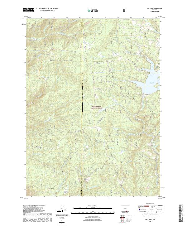
2021 Map of Keystone
USGS Topo · Published 2021About this map
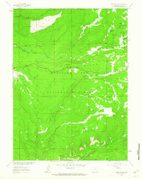
Keystone remains the central settlement in this high-altitude landscape within the Medicine Bow National Forest, where the terrain of the Medicine Bow Mountains is defined by a dense network of watercourses and forestry roads. The northeastern portion of the sheet is dominated by the Rob Roy Reservoir, a significant catchment fed by Douglas Cr. This area reflects a legacy of water management and forest access, with routes like Douglas Creek Rd and French Creek Rd providing the primary arteries through the timbered slopes. The map traces numerous named tributaries including Horse Cr, Flume Cr, and White Swan Cr, many of which converge in the Flume Cr Park area. These features imply a landscape traditionally used for both resource extraction and seasonal mountain recreation, preserved through a system of managed trails like the Savage Run Trl and Albany Trl.
Find a feature on this map
43 named features on this map. Tap any name to fly to it.
Don’t see what you’re looking for? This feature index may not catch every label — zoom into the map to look around manually.
Map Details
Editions of this 2021 Keystone Map
This is the sole edition of this map. No revisions or reprints were ever made.
Other maps of this area

1906 · Medicine Bow
USGS Topo · 1:125,000

1908 · Medicine Bow
USGS Topo · 1:125,000

1954 · Rawlins
USGS Topo · 1:250,000

1958 · Rawlins
USGS Topo · 1:250,000
1961 · Elkhorn Point
USGS Topo · 1:24,000

1961 · Overlook Hill
USGS Topo · 1:24,000
1961 · Horatio Rock
USGS Topo · 1:24,000

1961 · Medicine Bow Peak
USGS Topo · 1:24,000
1961 · Foxpark
USGS Topo · 1:24,000
1961 · Phantom Lake
USGS Topo · 1:24,000