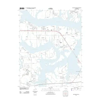
2012 Map of Keystone Dam
USGS Topo · Published 2012About this map
Keystone Lake dominates this 2012 topography, illustrating the complex shoreline created by the impoundment of the Arkansas River. The massive Keystone Dam structure at the southeastern corner anchors the landscape, where the river exits the reservoir. Several smaller lakeside communities and subdivisions like Westport, Baugh, and Prue dot the peninsulas and ridges, reflecting the transition of the area into a recreational and residential hub. The map provides significant genealogical value through the identification of local burial grounds, including Sinnett Cem, Leroy Cem, and Prairie View Cem. South of the lake, the town of Mannford is depicted with its residential street grid and proximity to the Mannford Water Supply Lake. Prominent landforms such as Peterman Ridge and Dawson Ridge break the water's surface, while the Westport Airport serves as a key local landmark.
Find a feature on this map
57 named features on this map. Tap any name to fly to it.
Don’t see what you’re looking for? This feature index may not catch every label — zoom into the map to look around manually.
Map Details
Editions of this 2012 Keystone Dam Map
This is the sole edition of this map. No revisions or reprints were ever made.
Other maps of this area

1912 · Hominy
USGS Topo · 1:125,000

1915 · Hominy
USGS Topo · 1:125,000

1915 · Hominy
USGS Topo · 1:62,500

1955 · Enid
USGS Topo · 1:250,000

1958 · Enid
USGS Topo · 1:250,000

1958 · Keystone Dam
USGS Topo · 1:24,000
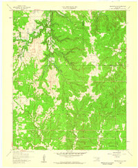
1958 · Mannford SE
USGS Topo · 1:24,000

1958 · Wekiwa
USGS Topo · 1:24,000
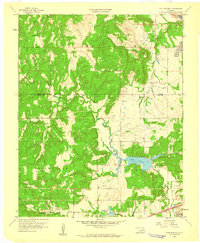
1959 · Lake Sahoma
USGS Topo · 1:24,000

1966 · Cleveland
USGS Topo · 1:24,000