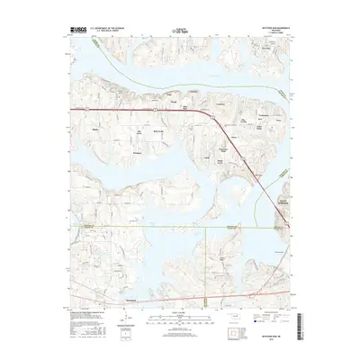
2016 Map of Keystone Dam
USGS Topo · Published 2016About this map
Keystone Lake dominates this landscape, its sprawling fingers reaching into four different Oklahoma counties and defining the character of the modern shoreline. The map reveals the intricate human geography surrounding the reservoir, where dense residential networks like Mule Barn, Timberlane, and Cedar Ridge sit atop high ground overlooking the water. This era of development is contrasted by the preservation of older landmarks such as Dixie Cem and Sinnett Cem, which provide essential points of reference for genealogists. The southern end of the sheet focuses on the infrastructure of the Keystone Dam itself and the recreational expanse of Keystone State Park. Transportation corridors like Old US Hwy 64 and the presence of the Westport Airport indicate a region heavily influenced by both local travel and lakefront tourism. This survey captures a specific moment in the evolution of the Sand Springs and Mannford vicinities, showing how the local economy has transitioned toward leisure and water-oriented living.
Find a feature on this map
119 named features on this map. Tap any name to fly to it.
Don’t see what you’re looking for? This feature index may not catch every label — zoom into the map to look around manually.
Map Details
Editions of this 2016 Keystone Dam Map
This is the sole edition of this map. No revisions or reprints were ever made.
Other maps of this area

1912 · Hominy
USGS Topo · 1:125,000

1915 · Hominy
USGS Topo · 1:125,000

1915 · Hominy
USGS Topo · 1:62,500

1955 · Enid
USGS Topo · 1:250,000

1958 · Enid
USGS Topo · 1:250,000

1958 · Keystone Dam
USGS Topo · 1:24,000
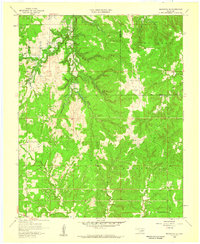
1958 · Mannford SE
USGS Topo · 1:24,000

1958 · Wekiwa
USGS Topo · 1:24,000
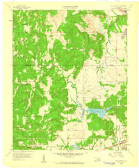
1959 · Lake Sahoma
USGS Topo · 1:24,000

1966 · Cleveland
USGS Topo · 1:24,000