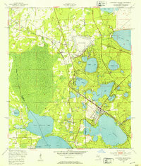
1949 Map of Keystone Heights
USGS Topo · Published 1953About this map
Keystone Heights sits at the heart of this post-war landscape, surrounded by an intricate network of freshwater lakes. The settlement pattern in the late 1940s reveals a community deeply tied to its hydrology, with residential grids and landmarks like Tibbits Park Palms and Loch Lomond situated along the shores of Lake Brooklyn and Keystone Lake. To the north, the presence of the Keystone Airport and an adjacent Firing Range reflects the era's military and aviation infrastructure, while the Lake Bedford Camp suggests the region's long-standing role as a recreational destination.
Find a feature on this map
30 named features on this map. Tap any name to fly to it.
Don’t see what you’re looking for? This feature index may not catch every label — zoom into the map to look around manually.
Map Details
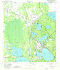
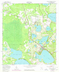
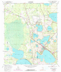
Editions of this 1949 Keystone Heights Map
4 editions found
Other maps of this area

1915 · Interlachen
USGS Topo · 1:48,000

1916 · Interlachen
USGS Topo · 1:62,500

1938 · Hawthorn
USGS Topo · 1:48,000

1941 · Starke
USGS Topo · 1:62,500

1942 · Ates Creek
USGS Topo · 1:62,500

1943 · Hawthorn
USGS Topo · 1:62,500

1944 · Interlachen
USGS Topo · 1:62,500

1948 · Starke
USGS Topo · 1:50,000

1949 · Sampson
USGS Topo · 1:24,000

1949 · Gold Head Branch
USGS Topo · 1:24,000