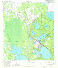
1949 Map of Keystone Heights
USGS Topo · Published 1972About this map
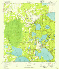
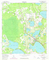
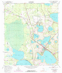
The town of Keystone Heights serves as a hub for this lake-strewn landscape where Clay, Bradford, and Alachua counties meet. Published mid-century with 1970 revisions, the map reveals a community defined by its proximity to water, featuring dozens of named basins including Brooklyn Lake, Little Santa Fe Lake, and Lake Geneva. Notable local landmarks like the Brooklyn School and the Lake Bedford Camp point to the area's development as a residential and recreational destination. To the north, the Keystone Airpark and the Southern railroad line mark the industrial and transport infrastructure of the era. Smaller settlements like Theressa and Santa Fe Beach appear alongside specialized locales such as Tibbits Park Palms, reflecting the early 20th-century growth of these lakeside communities before later modern expansion altered the rural character of the interior Florida peninsula.
Find a feature on this map
34 named features on this map. Tap any name to fly to it.
Don’t see what you’re looking for? This feature index may not catch every label — zoom into the map to look around manually.
Map Details
Editions of this 1949 Keystone Heights Map
4 editions found
Other maps of this area

1915 · Interlachen
USGS Topo · 1:48,000

1916 · Interlachen
USGS Topo · 1:62,500

1938 · Hawthorn
USGS Topo · 1:48,000

1941 · Starke
USGS Topo · 1:62,500

1942 · Ates Creek
USGS Topo · 1:62,500

1943 · Hawthorn
USGS Topo · 1:62,500

1944 · Interlachen
USGS Topo · 1:62,500

1948 · Starke
USGS Topo · 1:50,000

1949 · Sampson
USGS Topo · 1:24,000

1949 · Gold Head Branch
USGS Topo · 1:24,000