Loading...
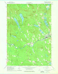
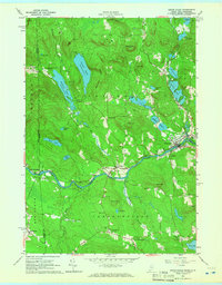
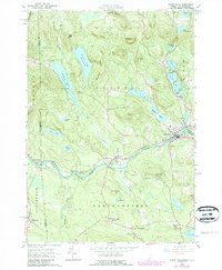
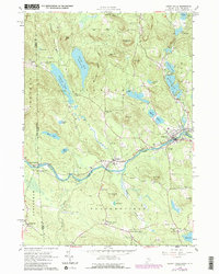
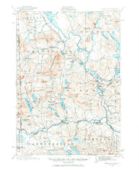
Loading map...1964 Map of Kezar Falls
USGS Topo · Published 1975About this map
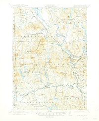
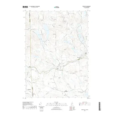
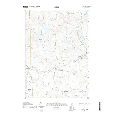
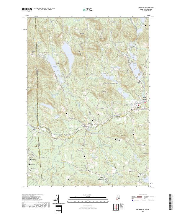
The Ossipee River serves as the central artery of this region, winding past the settlements of Porter, Kezar Falls, and South Hiram. This mid-century survey illustrates a landscape defined by sharp elevation changes and numerous glacial water bodies, from Colcord Pond in the north to Bickford Pond and Mine Pond. Cultural life is anchored by institutional landmarks such as the Parsonsfield Seminary and the Old Meetinghouse, which stand as focal points for the surrounding rural communities.
Find a feature on this map
68 named features on this map. Tap any name to fly to it.
Don’t see what you’re looking for? This feature index may not catch every label — zoom into the map to look around manually.
Map Details
Date Portrayed1964
Date Published1975
PublisherU.S. Geological Survey
Map TypeTopographic
Scale1:24,000
Physical Dimensions21.6 x 27.4 inches
Editions of this 1964 Kezar Falls Map
4 editions found
Historical Maps of Parsonsfield Through Time
8 maps found
Featured Locations
Source Details
SourceU.S. Geological Survey
CopyrightPublic Domain