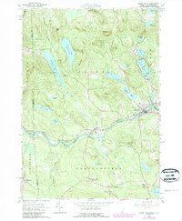
1964 Map of Kezar Falls
USGS Topo · Published 1989About this map
The Ossipee River carves a winding path through the borderlands of Maine and New Hampshire, anchoring a landscape of small mill towns and glacial water bodies. The settlement of Kezar Falls straddles the river at the junction of Porter and Parsonsfield, serving as a focal point for the region's late 20th-century development alongside nearby South Hiram. High ground is defined by prominent ridges like Moulton Ridge and Stacy Hill, which overlook a network of lakes including Colecord Pond and Bickford Pond, both controlled by spillways. For local historians, the map preserves the location of the Parsonsfield Seminary and the Old Meetinghouse, reflecting the community's educational and religious foundations. Numerous family burial sites, such as Huntress Cem and Leavitt Cem, are scattered across the terrain, offering essential clues for genealogical research in this rural New England corridor.
Find a feature on this map
68 named features on this map. Tap any name to fly to it.
Don’t see what you’re looking for? This feature index may not catch every label — zoom into the map to look around manually.
Map Details
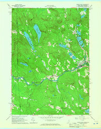
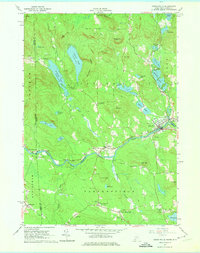
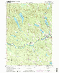
Editions of this 1964 Kezar Falls Map
4 editions found
Other maps of this area

1891 · Newfield
USGS Topo · 1:62,500

1893 · Newfield
USGS Topo · 1:62,500

1910 · Kezar Falls
USGS Topo · 1:48,000

1911 · Kezar Falls
USGS Topo · 1:62,500

1928 · Wolfeboro
USGS Topo · 1:62,500

1930 · Ossipee Lake
USGS Topo · 1:62,500

1933 · Newfield
USGS Topo · 1:48,000

1937 · Newfield
USGS Topo · 1:62,500

1942 · Newfield
USGS Topo · 1:62,500

1944 · Newfield
USGS Topo · 1:62,500