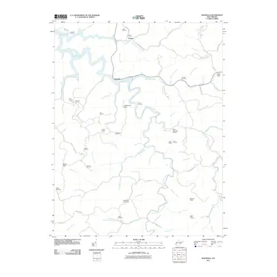
2011 Map of Kiahsville
USGS Topo · Published 2011About this map
East Fork Twelvepole Creek winds through this section of Wayne and Lincoln Counties, feeding the sprawling waters of East Lynn Lake. The landscape is defined by a dense network of ridges and hollows, including Crackersneck Ridge and the unusually named Boat Gunwale Hollow. Small settlements like Kiahsville and Brabant serve as local anchors, with the Kiahsville Post Office situated east along Cove Creek.
Find a feature on this map
87 named features on this map. Tap any name to fly to it.
Don’t see what you’re looking for? This feature index may not catch every label — zoom into the map to look around manually.
Map Details
Editions of this 2011 Kiahsville Map
This is the sole edition of this map. No revisions or reprints were ever made.
Other maps of this area

1887 · Warfield
USGS Topo · 1:125,000

1891 · Warfield
USGS Topo · 1:125,000

1892 · Huntington
USGS Topo · 1:125,000

1898 · Huntington
USGS Topo · 1:125,000

1902 · Midkiff
USGS Topo · 1:62,500

1907 · Midkiff
USGS Topo · 1:62,500

1909 · Wayne
USGS Topo · 1:62,500

1909 · Midkiff
USGS Topo · 1:62,500

1910 · Holden
USGS Topo · 1:48,000

1910 · Naugatuck
USGS Topo · 1:48,000