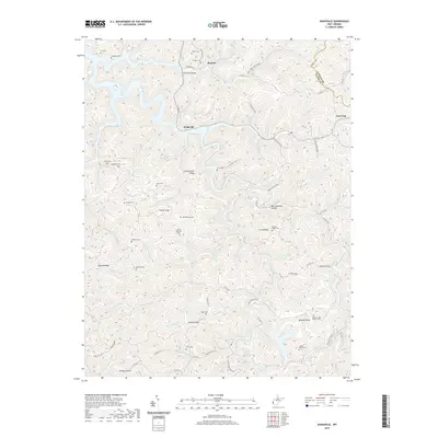
2019 Map of Kiahsville
USGS Topo · Published 2019About this map
Kiahsville and Brabant serve as central points in this modern 2019 topographical record of the rugged Wayne Co and Lincoln Co borderlands. The landscape is defined by its extensive drainage systems, including the headwaters of East Lynn Lake and the winding course of Twelvepole Cr. This region is notable for its numerous family burial grounds scattered across the ridgelines and hollows, such as Jarett Maynard Cem, Adkins White Cem, and Frasher Cem. These sites, along with landmarks like Queens Ridge Church, offer essential geographic markers for genealogical research and local history.
Find a feature on this map
101 named features on this map. Tap any name to fly to it.
Don’t see what you’re looking for? This feature index may not catch every label — zoom into the map to look around manually.
Map Details
Editions of this 2019 Kiahsville Map
This is the sole edition of this map. No revisions or reprints were ever made.
Other maps of this area

1887 · Warfield
USGS Topo · 1:125,000

1891 · Warfield
USGS Topo · 1:125,000

1892 · Huntington
USGS Topo · 1:125,000

1898 · Huntington
USGS Topo · 1:125,000

1902 · Midkiff
USGS Topo · 1:62,500

1907 · Midkiff
USGS Topo · 1:62,500

1909 · Wayne
USGS Topo · 1:62,500

1909 · Midkiff
USGS Topo · 1:62,500

1910 · Holden
USGS Topo · 1:48,000

1910 · Naugatuck
USGS Topo · 1:48,000