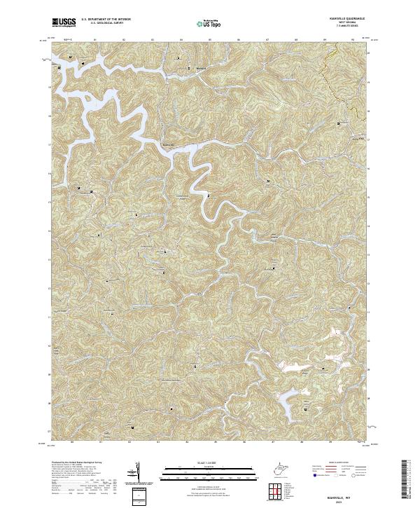
2023 Map of Kiahsville
USGS Topo · Published 2023About this map
Kiahsville serves as a primary point of reference in this Appalachian landscape, where deep hollows and narrow ridges dictate the patterns of settlement. The terrain is characterized by a dense network of branches and creeks that feed into larger waterways, creating a complex topographical quilt along the border of Wayne Co and Lincoln Co. Small settlements like Brabant and Cove Gap are positioned along the winding valley floors, reflecting a long-standing reliance on the natural drainage paths for transportation and residence. This 2023 survey provides a contemporary perspective on this rural West Virginia region, showing how modern infrastructure follows the ancient contours of the land, maintaining the isolated character of these small mountain communities.
Find a feature on this map
4 named features on this map. Tap any name to fly to it.
Don’t see what you’re looking for? This feature index may not catch every label — zoom into the map to look around manually.
Map Details
Editions of this 2023 Kiahsville Map
This is the sole edition of this map. No revisions or reprints were ever made.
Other maps of this area

1887 · Warfield
USGS Topo · 1:125,000

1891 · Warfield
USGS Topo · 1:125,000

1892 · Huntington
USGS Topo · 1:125,000

1898 · Huntington
USGS Topo · 1:125,000

1902 · Midkiff
USGS Topo · 1:62,500

1907 · Midkiff
USGS Topo · 1:62,500

1909 · Wayne
USGS Topo · 1:62,500

1909 · Midkiff
USGS Topo · 1:62,500

1910 · Holden
USGS Topo · 1:48,000

1910 · Naugatuck
USGS Topo · 1:48,000