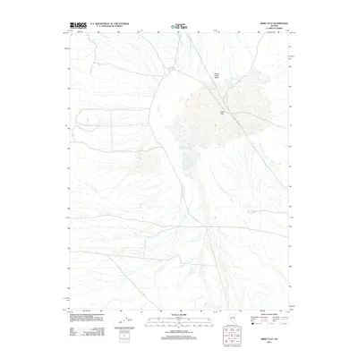
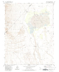
2012 Map of Kibby Flat
USGS Topo · Published 2012About this map
Monte Cristo Valley defines the arid landscape of this northern Esmeralda County region, characterized by its dry lake beds and intermittent desert washes. At its heart lies the broad expanse of Kibby Flat, a prominent topographic depression that dominates the central portion of the survey. The presence of Salt Marsh Spring on the southwestern edge of the flat provides a critical hydrographic marker in this otherwise water-scarce terrain. This 2012 survey by the U. S. Geological Survey captures the basin's drainage patterns and limited access roads as they existed in the early 21st century, offering a clear view of the natural basin structure and the isolated water sources that historically dictated human movement through the Great Basin.
Find a feature on this map
3 named features on this map. Tap any name to fly to it.
Don’t see what you’re looking for? This feature index may not catch every label — zoom into the map to look around manually.
Map Details
Editions of this 2012 Kibby Flat Map
This is the sole edition of this map. No revisions or reprints were ever made.
Other maps of this area

1907 · Tonopah
USGS Topo · 1:250,000

1908 · Tonopah
USGS Topo · 1:250,000

1956 · Tonopah
USGS Topo · 1:250,000

1959 · Tonopah
USGS Topo · 1:250,000

1962 · Tonopah
USGS Topo · 1:250,000
1968 · Coaldale NE
USGS Topo · 1:24,000
1968 · Rock Hill
USGS Topo · 1:24,000
1968 · Gilbert
USGS Topo · 1:24,000
1980 · Kibby Flat
USGS Topo · 1:24,000

1980 · Cole Spring
USGS Topo · 1:24,000