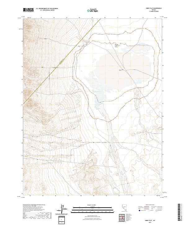
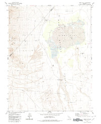
2021 Map of Kibby Flat
USGS Topo · Published 2021About this map
Kibby Flat occupies the central basin of this high-desert landscape, where the shifting elevations of the Monte Cristo Valley meet the jurisdictional boundary of the Mineral Co Esmeralda Co line. The terrain is defined by dry lake beds and alluvial fans, a characteristic geological pattern of this portion of the Great Basin. The presence of Salt Marsh Spring serves as a critical hydrological marker in an otherwise arid expanse, indicating where subsurface water reaches the surface near the valley floor. Mapped in 2021 by the U.S. Geological Survey using data from the BLM and other agencies, this document provides a precise look at the township and range divisions across T6N and T5N, essential for researchers tracking land patents or mining claims in this sparsely populated interior of Nevada.
Find a feature on this map
9 named features on this map. Tap any name to fly to it.
Don’t see what you’re looking for? This feature index may not catch every label — zoom into the map to look around manually.
Map Details
Editions of this 2021 Kibby Flat Map
This is the sole edition of this map. No revisions or reprints were ever made.
Other maps of this area

1907 · Tonopah
USGS Topo · 1:250,000

1908 · Tonopah
USGS Topo · 1:250,000

1956 · Tonopah
USGS Topo · 1:250,000

1959 · Tonopah
USGS Topo · 1:250,000

1962 · Tonopah
USGS Topo · 1:250,000
1968 · Coaldale NE
USGS Topo · 1:24,000
1968 · Rock Hill
USGS Topo · 1:24,000
1968 · Gilbert
USGS Topo · 1:24,000
1980 · Kibby Flat
USGS Topo · 1:24,000

1980 · Cole Spring
USGS Topo · 1:24,000