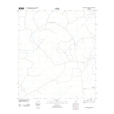
2013 Map of Kickapoo Caverns
USGS Topo · Published 2013About this map
Kickapoo Cavern State Park serves as the central landmark for this arid Edwards Plateau landscape in Kinney County. The terrain is defined by a sparse network of seasonal drainages and remote ranch roads that illustrate the region's low-density land use and reliance on aviation. Significant watercourses such as E Fork Sycamore Cr, Griffin Cr, and Pinto Cr carve through the limestone, though they appear largely dry on this modern survey. The map reveals the infrastructure of larger private holdings, notably the Leona Ranch Airport and its associated Leona Ranch Rd. This 2013 digital topographic survey highlights the intersection of public conservation land and private ranching interests, with Ranch Road 674 providing the primary corridor through this isolated portion of Southwest Texas.
Find a feature on this map
8 named features on this map. Tap any name to fly to it.
Don’t see what you’re looking for? This feature index may not catch every label — zoom into the map to look around manually.
Map Details
Editions of this 2013 Kickapoo Caverns Map
This is the sole edition of this map. No revisions or reprints were ever made.
Other maps of this area

1893 · Nueces
USGS Topo · 1:125,000

1896 · Nueces
USGS Topo · 1:125,000

1896 · Brackett
USGS Topo · 1:125,000

1897 · Brackett
USGS Topo · 1:125,000

1941 · Standart
USGS Topo · 1:62,500

1943 · Standart
USGS Topo · 1:62,500

1944 · Flat Rock
USGS Topo · 1:62,500

1944 · Brackettville
USGS Topo · 1:62,500

1944 · Indian Mountain
USGS Topo · 1:62,500

1958 · Del Rio
USGS Topo · 1:250,000