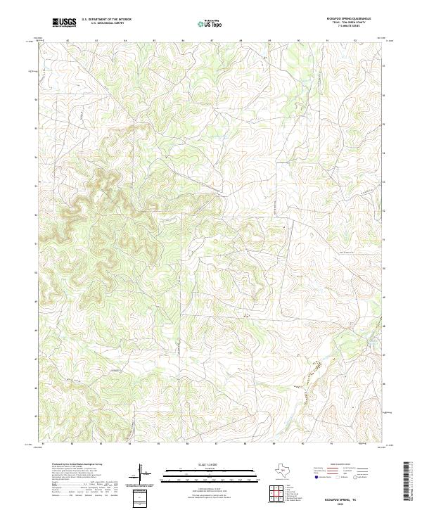
2022 Map of Kickapoo Spring
USGS Topo · Published 2022About this map
Kickapoo Spring and Rust Spring anchor this landscape in Tom Green County, where the dry plateaus of West Texas are carved by seasonal drainage systems. The terrain is defined by the headwaters of Kickapoo Cr and Hog Marsh Cr, which flow through a region primarily dedicated to large-scale ranching and land management. The presence of Susan Peak provides a significant vertical landmark in an area otherwise characterized by steady elevation gains and winding draws.
Find a feature on this map
15 named features on this map. Tap any name to fly to it.
Don’t see what you’re looking for? This feature index may not catch every label — zoom into the map to look around manually.
Map Details
Editions of this 2022 Kickapoo Spring Map
This is the sole edition of this map. No revisions or reprints were ever made.
Other maps of this area

1892 · San Angelo
USGS Topo · 1:125,000

1928 · Wall
USGS Topo · 1:62,500

1954 · San Angelo
USGS Topo · 1:250,000

1957 · Eola
USGS Topo · 1:62,500

1957 · Wall
USGS Topo · 1:62,500

1958 · San Angelo
USGS Topo · 1:250,000

1965 · San Angelo
USGS Topo · 1:250,000

1970 · Rocking Chair Ranch
USGS Topo · 1:24,000
1970 · Burr Oak Creek
USGS Topo · 1:24,000
1970 · Del Venado Ranch
USGS Topo · 1:24,000