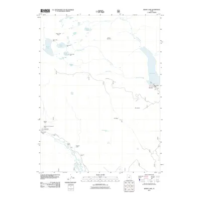
2011 Map of Kidney Lake
USGS Topo · Published 2011About this map
Moon Lake Lodge and the surrounding wilderness of the High Uintas are documented here during the early 21st century. The map details a high-elevation landscape defined by glacial lakes and a complex water management system, including Kidney Lake Dam, Island Lake Dam, and Brown Duck Dam. These structures, along with several high mountain reservoirs like Kidney Lake and Moon Lake, illustrate the historical development of water resources in Duchesne County.
Find a feature on this map
38 named features on this map. Tap any name to fly to it.
Don’t see what you’re looking for? This feature index may not catch every label — zoom into the map to look around manually.
Map Details
Editions of this 2011 Kidney Lake Map
This is the sole edition of this map. No revisions or reprints were ever made.
Other maps of this area

1885 · Uinta
USGS Topo · 1:250,000

1901 · Hayden Peak
USGS Topo · 1:125,000

1903 · Hayden Peak
USGS Topo · 1:125,000

1905 · Gilbert Peak
USGS Topo · 1:125,000

1906 · Gilbert Peak
USGS Topo · 1:125,000

1939 · Duchesne
USGS Topo · 1:125,000

1954 · Salt Lake City
USGS Topo · 1:250,000

1958 · Salt Lake City
USGS Topo · 1:250,000

1960 · Salt Lake City
USGS Topo · 1:250,000

1962 · Dry Mountain
USGS Topo · 1:24,000