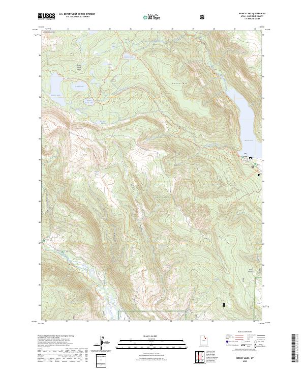
2023 Map of Kidney Lake
USGS Topo · Published 2023About this map
The High Uintas Wilderness dominates the northern reaches of this landscape, where the high-elevation Brown Duck Basin sits surrounded by peaks like Brown Duck Mtn and Round Mtn. A complex network of alpine lakes, including Kidney Lake, Big Dog Lake, and Atwine Lake, feeds the southern-flowing drainages that reach toward Moon Lake and the Lake Fork River. This modern survey illustrates the conservation and recreation infrastructure of the Ashley National Forest, showing the detailed paths of the Tworoose Pass Trl and Dry Ridge Trl.
Find a feature on this map
37 named features on this map. Tap any name to fly to it.
Don’t see what you’re looking for? This feature index may not catch every label — zoom into the map to look around manually.
Map Details
Editions of this 2023 Kidney Lake Map
This is the sole edition of this map. No revisions or reprints were ever made.
Other maps of this area

1885 · Uinta
USGS Topo · 1:250,000

1901 · Hayden Peak
USGS Topo · 1:125,000

1903 · Hayden Peak
USGS Topo · 1:125,000

1905 · Gilbert Peak
USGS Topo · 1:125,000

1906 · Gilbert Peak
USGS Topo · 1:125,000

1939 · Duchesne
USGS Topo · 1:125,000

1954 · Salt Lake City
USGS Topo · 1:250,000

1958 · Salt Lake City
USGS Topo · 1:250,000

1960 · Salt Lake City
USGS Topo · 1:250,000

1962 · Dry Mountain
USGS Topo · 1:24,000