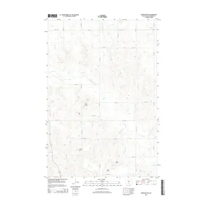
2014 Map of Kiefer Buttes
USGS Topo · Published 2014About this map
Kiefer Buttes and a series of prominent elevations define this portion of Emmons County, where the landscape is etched by the drainage patterns of Cattail Cr. This modern survey reveals a geometric grid of rural section roads, such as 95th St SW and 4th Ave SW, imposed upon a complex topography of glacial features. Significant local landmarks including Hall Hill, Lookout Butte, Smith Butte, and Fritz Butte stand as clear navigational markers across the territory. In the southeastern corner, the small catchment of Becker Lake and the winding course of the S Br Cattail Cr highlight the sparse but critical water resources in this agricultural region of North Dakota.
Find a feature on this map
23 named features on this map. Tap any name to fly to it.
Don’t see what you’re looking for? This feature index may not catch every label — zoom into the map to look around manually.
Map Details
Editions of this 2014 Kiefer Buttes Map
This is the sole edition of this map. No revisions or reprints were ever made.
Other maps of this area

1953 · McIntosh
USGS Topo · 1:250,000

1954 · Bismarck
USGS Topo · 1:250,000

1958 · Bismarck
USGS Topo · 1:250,000

1958 · McIntosh
USGS Topo · 1:250,000

1965 · Pollock
USGS Topo · 1:24,000

1966 · Mahto NE
USGS Topo · 1:24,000

1966 · Pollock NW
USGS Topo · 1:24,000

1968 · Fort Yates SE
USGS Topo · 1:24,000

1968 · Fort Yates NE
USGS Topo · 1:24,000

1971 · Grassna NW
USGS Topo · 1:24,000