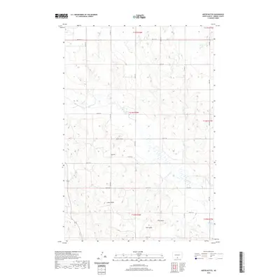
2020 Map of Kiefer Buttes
USGS Topo · Published 2020About this map
Kiefer Buttes and other prominent elevations rise above the glaciated plains of Emmons County in this modern topographic study. The landscape is defined by its drainage systems, most notably Cattail Cr and the S Br Cattail Cr, which wind through the township and range divisions. The distribution of named high points such as Lookout Butte, Smith Butte, and Fritz Butte suggests a terrain that has long served as a navigational reference for local travelers. To the east, Becker Lake provides a localized basin for surface water. The area is intersected by a grid of rural roads, including Main Ave and various numbered streets, reflecting the systematic land survey patterns that have organized North Dakota agriculture for generations.
Find a feature on this map
28 named features on this map. Tap any name to fly to it.
Don’t see what you’re looking for? This feature index may not catch every label — zoom into the map to look around manually.
Map Details
Editions of this 2020 Kiefer Buttes Map
This is the sole edition of this map. No revisions or reprints were ever made.
Other maps of this area

1953 · McIntosh
USGS Topo · 1:250,000

1954 · Bismarck
USGS Topo · 1:250,000

1958 · Bismarck
USGS Topo · 1:250,000

1958 · McIntosh
USGS Topo · 1:250,000

1965 · Pollock
USGS Topo · 1:24,000

1966 · Mahto NE
USGS Topo · 1:24,000

1966 · Pollock NW
USGS Topo · 1:24,000

1968 · Fort Yates SE
USGS Topo · 1:24,000

1968 · Fort Yates NE
USGS Topo · 1:24,000

1971 · Grassna NW
USGS Topo · 1:24,000