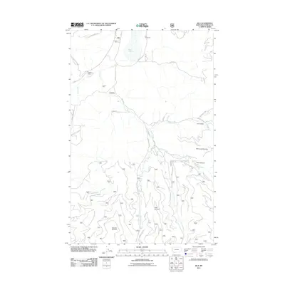
2011 Map of Kila
USGS Topo · Published 2011About this map
Kila serves as the focal point for this Flathead County landscape, situated where the Kila Post Office and Kila Campground meet the shores of Smith Lake. The map details a transition from the structured plots of the townsite to the expansive ranching and forest lands to the south. Named homesteads and outposts like C M Quarter Circle Ranch, Truman Cabin, and Norden Cabin are tucked among the drainages of Ashley Creek and Truman Creek, illustrating the residential patterns of rural Montana in the early 21st century.
Find a feature on this map
38 named features on this map. Tap any name to fly to it.
Don’t see what you’re looking for? This feature index may not catch every label — zoom into the map to look around manually.
Map Details
Editions of this 2011 Kila Map
This is the sole edition of this map. No revisions or reprints were ever made.
Other maps of this area

1920 · Flathead Lake
USGS Topo · 1:125,000

1943 · Kalispell
USGS Topo · 1:125,000

1956 · Wallace
USGS Topo · 1:250,000

1957 · Kalispell
USGS Topo · 1:250,000

1960 · Kalispell
USGS Topo · 1:250,000

1960 · Wallace
USGS Topo · 1:250,000

1961 · Kalispell
USGS Topo · 1:250,000

1962 · Kila
USGS Topo · 1:24,000

1962 · Blue Grass Ridge
USGS Topo · 1:24,000

1962 · Lion Mountain
USGS Topo · 1:24,000