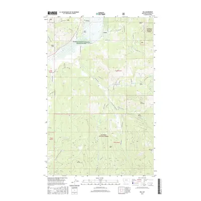
2017 Map of Kila
USGS Topo · Published 2017About this map
Kila and the neighboring settlement of Smith Valley anchor this map of the western Montana landscape. The area is dominated by the Flathead County Waterfowl Production Area, which encompasses the marshy expanse of Smith Lake. To the south and east, the terrain rises into the densely wooded slopes of the Flathead National Forest, featuring prominent peaks such as Wild Bill Mtn and Eagle Mtn.
Find a feature on this map
58 named features on this map. Tap any name to fly to it.
Don’t see what you’re looking for? This feature index may not catch every label — zoom into the map to look around manually.
Map Details
Editions of this 2017 Kila Map
This is the sole edition of this map. No revisions or reprints were ever made.
Other maps of this area

1920 · Flathead Lake
USGS Topo · 1:125,000

1943 · Kalispell
USGS Topo · 1:125,000

1956 · Wallace
USGS Topo · 1:250,000

1957 · Kalispell
USGS Topo · 1:250,000

1960 · Kalispell
USGS Topo · 1:250,000

1960 · Wallace
USGS Topo · 1:250,000

1961 · Kalispell
USGS Topo · 1:250,000

1962 · Kila
USGS Topo · 1:24,000

1962 · Blue Grass Ridge
USGS Topo · 1:24,000

1962 · Lion Mountain
USGS Topo · 1:24,000