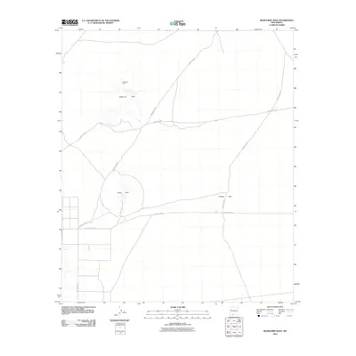
2010 Map of Kilbourne Hole
USGS Topo · Published 2010About this map
Kilbourne Hole defines the northern landscape of this Doña Ana County survey, represented as a prominent maar crater in the New Mexico desert. The terrain is marked by these rare volcanic depressions, including the central Hunts Hole and the more modest Phillips Hole to the east. The map reveals a high-desert environment largely devoid of permanent settlement, characterized instead by a network of rural routes such as County RD-A011 and County RD-A015. These roads suggest a landscape primarily utilized for transit and scientific study of the distinct geological formations. The systematic grid of property lines in the southwest, near A 008 County RD, indicates a transition toward more structured land parcels compared to the open expanses surrounding the craters.
Find a feature on this map
10 named features on this map. Tap any name to fly to it.
Don’t see what you’re looking for? This feature index may not catch every label — zoom into the map to look around manually.
Map Details
Editions of this 2010 Kilbourne Hole Map
This is the sole edition of this map. No revisions or reprints were ever made.
Other maps of this area

1891 · Las Cruces
USGS Topo · 1:125,000

1893 · Las Cruces
USGS Topo · 1:125,000

1917 · Noria
USGS Topo · 1:62,500

1917 · Mt. Riley
USGS Topo · 1:62,500

1918 · Mt. Riley
USGS Topo · 1:62,500

1918 · Noria
USGS Topo · 1:62,500

1929 · Mt. Riley
USGS Topo · 1:62,500

1941 · Aden
USGS Topo · 1:62,500

1943 · Aden
USGS Topo · 1:62,500

1943 · Afton
USGS Topo · 1:62,500