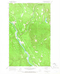
1963 Map of Kilbrennan Lake
USGS Topo · Published 1966About this map
The Yaak River carves a significant valley through the northwestern corner of Montana, anchoring a landscape dominated by the Kootenai National Forest. In the early 1960s, the Great Northern railroad followed the river's winding course, serving as the primary transportation artery for the sparse settlements of Yaak and Pine. The presence of several Gravel Pits and a Tunnel suggests the industrial infrastructure required to maintain this passage through the Cabinet Mountains region.
Find a feature on this map
21 named features on this map. Tap any name to fly to it.
Don’t see what you’re looking for? This feature index may not catch every label — zoom into the map to look around manually.
Map Details
Editions of this 1963 Kilbrennan Lake Map
2 editions found
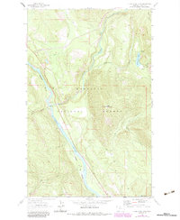
Other maps of this area

1911 · Priest Lake
USGS Topo · 1:250,000

1913 · Priest Lake
USGS Topo · 1:250,000

1920 · Libby
USGS Topo · 1:125,000

1930 · Libby
USGS Topo · 1:125,000

1932 · Libby
USGS Topo · 1:125,000

1951 · Mt Pend Oreille
USGS Topo · 1:62,500

1957 · Kalispell
USGS Topo · 1:250,000

1958 · Sandpoint
USGS Topo · 1:250,000

1960 · Kalispell
USGS Topo · 1:250,000

1961 · Kalispell
USGS Topo · 1:250,000