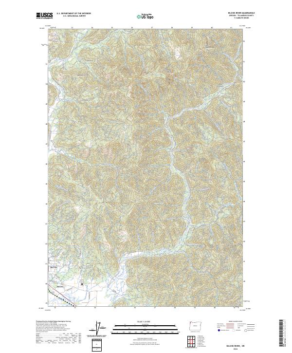
2024 Map of Kilchis River
USGS Topo · Published 2024About this map
The Kilchis River and Miami River systems dominate this landscape in Tillamook County, where coastal drainages carve through a complex network of ridges and canyons. Near the western edge of the map, the settlements of Bay City and Idaville provide a focal point for researchers interested in the historical development of the Oregon coast. Of particular genealogical interest is the Bay City Ioof Cem, which stands near the residential clusters south of Doughty Rd.
Find a feature on this map
69 named features on this map. Tap any name to fly to it.
Don’t see what you’re looking for? This feature index may not catch every label — zoom into the map to look around manually.
Map Details
Editions of this 2024 Kilchis River Map
This is the sole edition of this map. No revisions or reprints were ever made.
Other maps of this area

1937 · Nehalem
USGS Topo · 1:62,500

1937 · Enright
USGS Topo · 1:62,500

1941 · Enright
USGS Topo · 1:62,500

1942 · Ginger Peak
USGS Topo · 1:62,500

1942 · Tillamook
USGS Topo · 1:62,500

1943 · Nehalem
USGS Topo · 1:62,500

1948 · Vancouver
USGS Topo · 1:250,000

1950 · Vancouver
USGS Topo · 1:250,000

1950 · Vancouver
USGS Topo · 1:250,000

1955 · Blaine
USGS Topo · 1:62,500