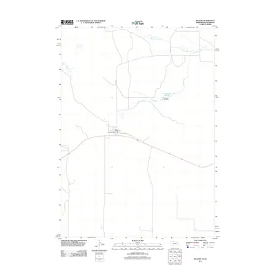
2011 Map of Kilgore
USGS Topo · Published 2011About this map
The small village of Kilgore serves as the primary hub of this 2011 survey, centered around the Kilgore Post Office along the highway. The landscape north of the settlement is defined by the winding course of Minnechaduza Creek and its tributary, Spring Creek, which feeds into the Fox Reservoir Number 2. This irrigation and water management system is anchored by the Fox Dam Number 2, illustrating the agricultural reliance on controlled water sources in this part of Cherry County. Local infrastructure is sparse, characterized by the intersection of Kilgore Rd and Hunt St, which provide access to the surrounding ranching and prairie lands.
Find a feature on this map
8 named features on this map. Tap any name to fly to it.
Don’t see what you’re looking for? This feature index may not catch every label — zoom into the map to look around manually.
Map Details
Editions of this 2011 Kilgore Map
This is the sole edition of this map. No revisions or reprints were ever made.
Other maps of this area

1950 · Kilgore
USGS Topo · 1:62,500

1950 · Cody
USGS Topo · 1:62,500

1955 · Martin
USGS Topo · 1:250,000

1957 · Valentine
USGS Topo · 1:250,000

1958 · Martin
USGS Topo · 1:250,000

1959 · Valentine
USGS Topo · 1:250,000

1969 · Spring Creek
USGS Topo · 1:24,000

1969 · St. Francis SW
USGS Topo · 1:24,000

1969 · St. Francis SE
USGS Topo · 1:24,000

1982 · Mission
USGS Topo · 1:100,000