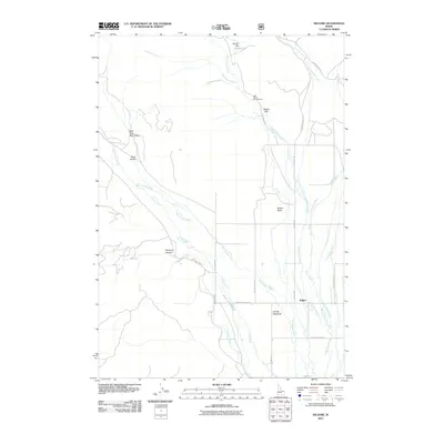
2011 Map of Kilgore
USGS Topo · Published 2011About this map
Kilgore serves as a central point in this high-altitude landscape where the meadows of the Snake River Plain meet the rising foothills. The settlement is positioned near the broad Camas Meadows, a region defined by an intricate network of waterways including West Camas Creek, Cottonwood Creek, and Warm Creek. This hydrology suggests a terrain historically shaped by grazing and seasonal water management, as evidenced by the numerous flats and gulches such as Hirschi Flat and East Fork Bear Gulch.
Find a feature on this map
31 named features on this map. Tap any name to fly to it.
Don’t see what you’re looking for? This feature index may not catch every label — zoom into the map to look around manually.
Map Details
Editions of this 2011 Kilgore Map
This is the sole edition of this map. No revisions or reprints were ever made.
Other maps of this area

1950 · Lower Red Rock Lake
USGS Topo · 1:62,500

1955 · Dubois
USGS Topo · 1:250,000

1955 · Ashton
USGS Topo · 1:250,000

1958 · Dubois
USGS Topo · 1:250,000

1958 · Ashton
USGS Topo · 1:250,000

1960 · Ashton
USGS Topo · 1:250,000

1968 · Big Table Mountain
USGS Topo · 1:24,000

1972 · Pine Butte
USGS Topo · 1:24,000

1972 · Antelope Valley
USGS Topo · 1:24,000

1972 · Kilgore
USGS Topo · 1:24,000