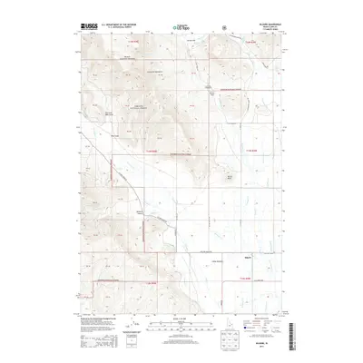
2013 Map of Kilgore
USGS Topo · Published 2013About this map
Kilgore serves as the primary settlement on this Idaho landscape, situated where the high country of the Western Centennial Mountains meets the wide expanse of Camas Meadows. The geography is defined by a complex drainage system within the Targhee National Forest, where headwaters like Crab Cr, Crooked Cr, and E Camas Cr descend from the northern peaks toward the valley floor. The map documents a transition from the elevated terrain of Hirschi Flat and Waters Flat to the more accessible grounds near the East Camas Campground. Local navigation relies on a network of backroads, including W Camas Creek Rd and Antelope Valley Rd, which trace the natural contours of the land around prominent landmarks such as Button Butte.
Find a feature on this map
61 named features on this map. Tap any name to fly to it.
Don’t see what you’re looking for? This feature index may not catch every label — zoom into the map to look around manually.
Map Details
Editions of this 2013 Kilgore Map
This is the sole edition of this map. No revisions or reprints were ever made.
Other maps of this area

1950 · Lower Red Rock Lake
USGS Topo · 1:62,500

1955 · Dubois
USGS Topo · 1:250,000

1955 · Ashton
USGS Topo · 1:250,000

1958 · Dubois
USGS Topo · 1:250,000

1958 · Ashton
USGS Topo · 1:250,000

1960 · Ashton
USGS Topo · 1:250,000

1968 · Big Table Mountain
USGS Topo · 1:24,000

1972 · Pine Butte
USGS Topo · 1:24,000

1972 · Antelope Valley
USGS Topo · 1:24,000

1972 · Kilgore
USGS Topo · 1:24,000