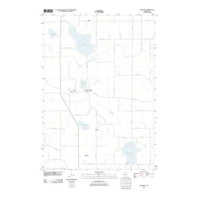
2010 Map of Kilkenny
USGS Topo · Published 2010About this map
Kilkenny anchors this landscape, situated near the western edge of the Big Woods region where the Cannon River and Little Cannon River carve through the glacial terrain. The area is defined by its numerous water bodies, including the large expanse of Lake Dora and the distinctively shaped Horseshoe Lake to the south. Local heritage is preserved in several small burial grounds such as the Cordova Family Cemetery and Gregor Farm Cemetery, which reflect the early family farmsteads that established this agricultural community. Small settlements like Doyle and Rogers are connected by a network of county roads, such as County Hwy-3 and County Hwy-134, maintaining the rural character of Le Sueur County into the early 21st century.
Find a feature on this map
58 named features on this map. Tap any name to fly to it.
Don’t see what you’re looking for? This feature index may not catch every label — zoom into the map to look around manually.
Map Details
Editions of this 2010 Kilkenny Map
This is the sole edition of this map. No revisions or reprints were ever made.
Other maps of this area

1953 · Saint Paul
USGS Topo · 1:250,000

1959 · Saint Paul
USGS Topo · 1:250,000

1960 · Shieldsville
USGS Topo · 1:24,000

1960 · Lonsdale
USGS Topo · 1:24,000

1962 · Morristown
USGS Topo · 1:24,000

1966 · Montgomery
USGS Topo · 1:24,000

1966 · Waterville
USGS Topo · 1:24,000

1966 · Cordova
USGS Topo · 1:24,000

1966 · Elysian
USGS Topo · 1:24,000

1966 · Le Center
USGS Topo · 1:24,000