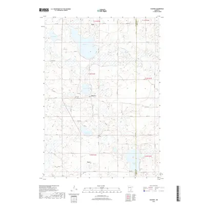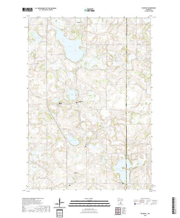
2022 Map of Kilkenny
USGS Topo · Published 2022About this map
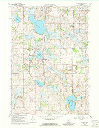
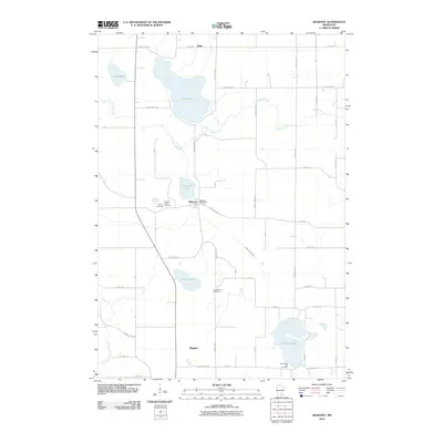
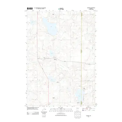
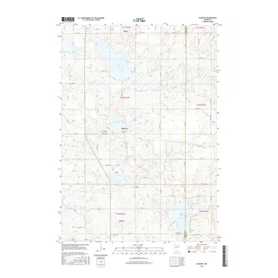
Kilkenny serves as the central hub of this agricultural and wetland landscape, situated between the Cannon River to the north and the Little Cannon River to the south. The terrain is defined by a dense concentration of glacial lakes, including Lake Dora, Diamond Lake, and Sunfish Lake, which historically dictated the placement of early settlements and road networks. For those researching local lineages, the map identifies several small burial grounds such as the Cordova Family Cem, Gregor Farm Cem, and Gish Cem, alongside the larger Calvary Cem. Small crossroads communities like Doyle in the north and Rogers to the south remain connected by a grid of county roads, including Co RD 2 and Co RD 5, reflecting a persistent rural character that has endured into the twenty-first century.
Find a feature on this map
59 named features on this map. Tap any name to fly to it.
Don’t see what you’re looking for? This feature index may not catch every label — zoom into the map to look around manually.
Map Details
Editions of this 2022 Kilkenny Map
This is the sole edition of this map. No revisions or reprints were ever made.
Historical Maps of Kilkenny Through Time
6 maps found