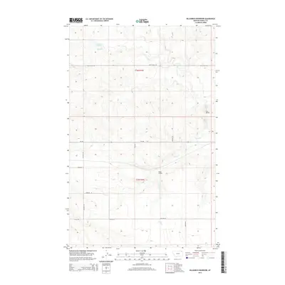
2014 Map of Killenbeck Reservoir
USGS Topo · Published 2014About this map
Killenbeck Reservoir and the surrounding drainage of Brush Cr define this pocket of the northern high plains in Daniels County. The landscape is characterized by a sparse network of section-line roads and creek beds, including Butte Cr and the waters of Spring Cr which wind through the southeast. A prominent terrain feature, Four Buttes, rises near the eastern margin, serving as a landmark in a territory largely dedicated to agricultural use and open range.
Find a feature on this map
18 named features on this map. Tap any name to fly to it.
Don’t see what you’re looking for? This feature index may not catch every label — zoom into the map to look around manually.
Map Details
Editions of this 2014 Killenbeck Reservoir Map
This is the sole edition of this map. No revisions or reprints were ever made.
Other maps of this area

1954 · Wolf Point
USGS Topo · 1:250,000

1958 · Wolf Point
USGS Topo · 1:250,000

1973 · Peerless 4 NE
USGS Topo · 1:24,000

1973 · West Fork NE
USGS Topo · 1:24,000

1973 · Peerless
USGS Topo · 1:24,000

1973 · Carbert
USGS Topo · 1:24,000

1973 · Killenbeck Reservoir
USGS Topo · 1:24,000

1973 · Four Buttes NE
USGS Topo · 1:24,000

1973 · Four Buttes
USGS Topo · 1:24,000

1973 · Four Buttes NW
USGS Topo · 1:24,000