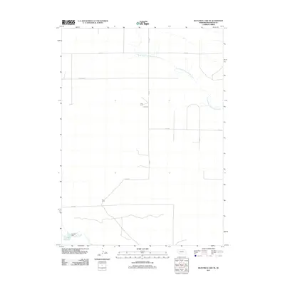
2011 Map of Kilpatrick Lake NE
USGS Topo · Published 2011About this map
The South Branch Point of Rocks Creek meanders across this High Plains landscape in Box Butte County, where the transition from traditional ranching to modern water management is clearly visible. The presence of Uhrig Ranch and Bauer Ranch highlights the area's agricultural identity, reflecting the long-standing land-use patterns of western Nebraska. In the southern reaches of the map, infrastructure such as the Cook NW Dam and the Cook NW Reservoir on Snake Creek illustrate the critical role of water storage in this arid region. The gridded road network, including Lincoln Rd and Hayes Rd, provides the framework for this rural section, marking the square-mile sections that define the Great Plains survey system.
Find a feature on this map
14 named features on this map. Tap any name to fly to it.
Don’t see what you’re looking for? This feature index may not catch every label — zoom into the map to look around manually.
Map Details
Editions of this 2011 Kilpatrick Lake NE Map
This is the sole edition of this map. No revisions or reprints were ever made.
Other maps of this area

1946 · Nonpareil
USGS Topo · 1:24,000

1948 · Hemingford 4 SW
USGS Topo · 1:24,000

1948 · Hemingford 4 NW
USGS Topo · 1:24,000

1948 · Nonpareil
USGS Topo · 1:24,000

1951 · Marsland
USGS Topo · 1:62,500

1951 · Kilpatrick Lake
USGS Topo · 1:62,500

1955 · Alliance
USGS Topo · 1:250,000

1957 · Alliance
USGS Topo · 1:250,000

1958 · Alliance
USGS Topo · 1:250,000
1983 · Marsland SE
USGS Topo · 1:24,000