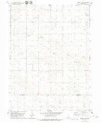
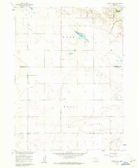
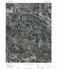
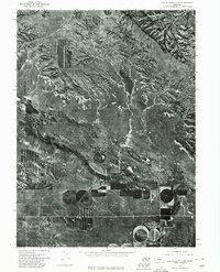
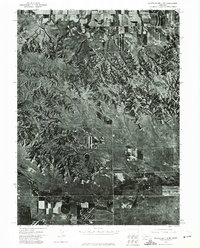
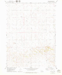
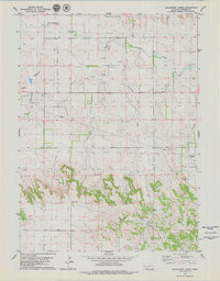
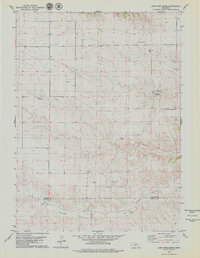
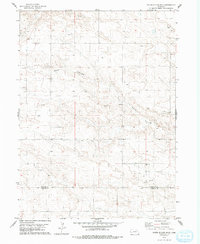
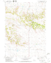
1979 Map of Kimball 2 NE
USGS Topo · Published 1979This historical map portrays the area of Kimball 2 NE in 1979, primarily covering Banner County as well as portions of Kimball County. Featuring a scale of 1:24000, this map provides a highly detailed snapshot of the terrain, roads, buildings, counties, and historical landmarks in the Kimball 2 NE region at the time. Published in 1979, it is one of 2 known editions of this map due to revisions or reprints.
Map Details
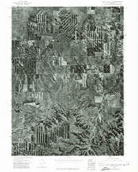
Editions of this 1979 Kimball 2 NE Map
2 editions found
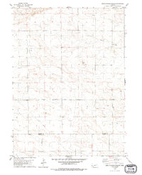
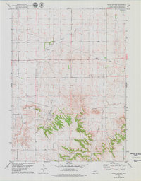
Historical Maps of Banner County Through Time
26 maps found
1960 Murray Lake
Banner County, NE
1973 Camp Clarke 3 SW
Banner County, NE
1973 Kimball 1 NE
Banner County, NE
1973 Kimball 1 NW
Banner County, NE
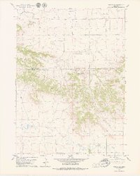
1973 Kimball 2 NE
Banner County, NE
1973 Kimball 2 NW
Banner County, NE
1973 Potter 2 NW
Banner County, NE
1973 Scotts Bluff 3 NE
Banner County, NE
1973 Scotts Bluff 3 SE
Banner County, NE
1973 Scotts Bluff 3 SW
Banner County, NE
1973 Scotts Bluff 4 NE
Banner County, NE
1973 Scotts Bluff 4 NW
Banner County, NE
1973 Scotts Bluff 4 SE
Banner County, NE
1973 Scotts Bluff 4 SW
Banner County, NE
1979 Bennett Reservoir NW
Banner County, NE
1979 Gabe Rock
Banner County, NE
1979 Hackberry Creek
Banner County, NE
1979 Head Of Rocky Hollow
Banner County, NE
1979 Indian Springs
Banner County, NE
1979 Lone Pine Butte
Banner County, NE
1979 Murray Lake NE
Banner County, NE
1979 Murray Lake SW
Banner County, NE
1979 Singleton Ranch
Banner County, NE
1979 South Of Gabe Rock
Banner County, NE
1979 Wildcat Mountain
Banner County, NE
1979 Wright Gap
Banner County, NE