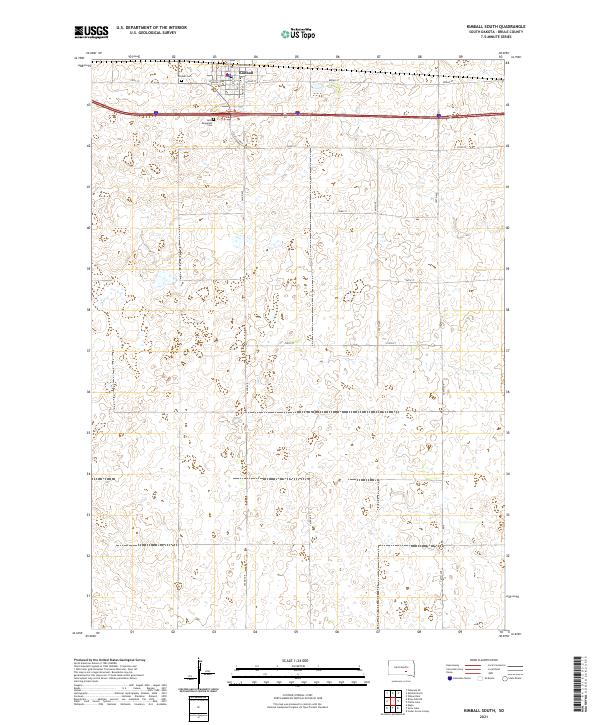
2021 Map of Kimball South
USGS Topo · Published 2021About this map
Kimball anchors the northern edge of this Brule County survey, serving as a vital agricultural and transport hub at the intersection of local grid roads and the interstate corridor. The town's layout is defined by its relation to the rail line, with E Railroad St and Main St forming the commercial core near the Po. Beyond the residential blocks, the landscape transitions into a vast grid of section lines and township boundaries, including t103n r68w and t102n r67w. Local history and genealogy are preserved in the presence of Kimball Cem and Saint Margarets Cem just outside the main settlement. The survey detail also highlights specific local landmarks like Cahill Curve, illustrating the subtle adjustments of the road network to the prairie topography.
Find a feature on this map
27 named features on this map. Tap any name to fly to it.
Don’t see what you’re looking for? This feature index may not catch every label — zoom into the map to look around manually.
Map Details
Editions of this 2021 Kimball South Map
This is the sole edition of this map. No revisions or reprints were ever made.
Other maps of this area

1941 · Pukwana
USGS Topo · 1:62,500

1941 · Kimball North
USGS Topo · 1:62,500

1951 · Pukwana
USGS Topo · 1:62,500

1951 · Kimball North
USGS Topo · 1:62,500

1955 · Mitchell
USGS Topo · 1:250,000

1959 · Mitchell
USGS Topo · 1:250,000

1979 · Bijou Hills NE
USGS Topo · 1:24,000

1979 · Cedar Grove Colony
USGS Topo · 1:24,000

1979 · Eagle
USGS Topo · 1:24,000

1979 · Platte Lake
USGS Topo · 1:24,000