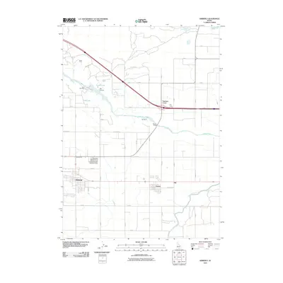
2010 Map of Kimberly
USGS Topo · Published 2010About this map
Kimberly and Hansen anchor this high-desert agricultural landscape, where the profound impact of irrigation is visible in the network of the Twin Falls Main Canal and C Canal. The Snake River cuts deeply through the terrain, featuring landmarks like Devils Corral, Box Canyon, and the dramatic Twin Falls drop near the Twin Falls Dam. This 2010 survey highlights the region's intersection of natural geological features and industrial utility, exemplified by the Hansen Bridge spanning the river canyon.
Find a feature on this map
22 named features on this map. Tap any name to fly to it.
Don’t see what you’re looking for? This feature index may not catch every label — zoom into the map to look around manually.
Map Details
Editions of this 2010 Kimberly Map
This is the sole edition of this map. No revisions or reprints were ever made.
Other maps of this area

1955 · Twin Falls
USGS Topo · 1:250,000

1958 · Twin Falls
USGS Topo · 1:250,000

1964 · Kimberly
USGS Topo · 1:24,000

1964 · Falls City
USGS Topo · 1:24,000

1964 · Twin Falls
USGS Topo · 1:24,000

1964 · Eden
USGS Topo · 1:24,000

1964 · Perrine
USGS Topo · 1:24,000

1964 · Hunt
USGS Topo · 1:24,000

1965 · Stricker Butte
USGS Topo · 1:24,000

1965 · Hub Butte
USGS Topo · 1:24,000