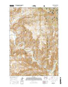
2017 Map of Kimberly
USGS Topo · Published 2017About this map
Kimberly sits at the confluence of the John Day River and the North Fork John Day River, serving as a focal point for this high-desert landscape in Grant County. The topography is defined by significant elevation changes, ranging from the river banks to the heights of China Hat Peak and Tamarack Mtn. To the northeast, the Umatilla National Forest boundary marks a transition into protected timberland, while the surrounding terrain is deeply incised by drainages like East Bologna Canyon and West Bologna Canyon. Evidence of the region's spring-fed hydrology appears at White House Spring and Mitchell Spring, which have historically supported local ranching and transit. The map details a network of rural routes, including Bologna Rd and Orchard View Rd, that trace the contours of Haystack Valley and the various creeks feeding the John Day system.
Find a feature on this map
32 named features on this map. Tap any name to fly to it.
Don’t see what you’re looking for? This feature index may not catch every label — zoom into the map to look around manually.
Map Details
Editions of this 2017 Kimberly Map
This is the sole edition of this map. No revisions or reprints were ever made.
Other maps of this area

1953 · Richmond
USGS Topo · 1:62,500

1953 · Kimberly
USGS Topo · 1:62,500

1953 · Picture
USGS Topo · 1:62,500

1953 · Spray
USGS Topo · 1:62,500

1955 · Canyon City
USGS Topo · 1:250,000

1959 · Canyon City
USGS Topo · 1:250,000

1980 · Monument
USGS Topo · 1:100,000
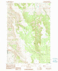
1990 · Miller Flat
USGS Topo · 1:24,000
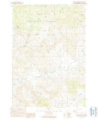
1990 · Bologna Basin
USGS Topo · 1:24,000
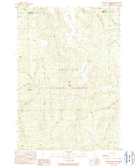
1990 · Turner Mountain
USGS Topo · 1:24,000