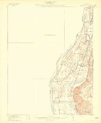
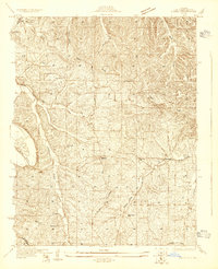
1912 Map of Kimmswick
USGS Topo · Published 1912About this map
The Mississippi River floodplain in Illinois dominates this 1910 survey, showing the complex interaction between water and early 20th-century settlement. Agriculture and transportation dictated the layout of the land, with the St Louis and Iron Mountain Southern (Missouri Pacific Line) railway cutting a straight path along the base of the eastern Bluff. Small rural centers such as Valmeyer and Harrisonville served as the primary hubs for local farmers, supported by essential community landmarks like the Blue Church and numerous one-room schoolhouses, including Riverview School and Central School.
Find a feature on this map
42 named features on this map. Tap any name to fly to it.
Don’t see what you’re looking for? This feature index may not catch every label — zoom into the map to look around manually.
Map Details
Editions of this 1912 Kimmswick Map
2 editions found
Other maps of this area

1888 · St. Louis
USGS Topo · 1:62,500

1901 · De Soto
USGS Topo · 1:125,000

1903 · O'Fallon
USGS Topo · 1:125,000
1910 · Waterloo
USGS Topo · 1:62,500
1913 · Waterloo
USGS Topo · 1:62,500
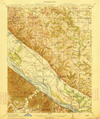
1915 · Renault
USGS Topo · 1:62,500
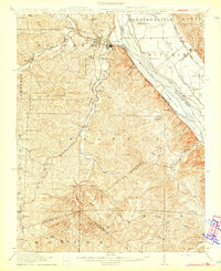
1915 · Crystal City
USGS Topo · 1:62,500
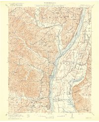
1916 · Kimmswick
USGS Topo · 1:62,500
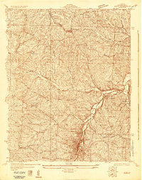
1930 · De Soto NE
USGS Topo · 1:24,000
1930 · Pacific SE
USGS Topo · 1:24,000