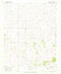
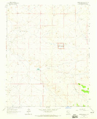
1970 Map of Kin Nahzin Ruins
USGS Topo · Published 1973About this map
Ancient habitations and isolated water sources define this high-desert landscape in McKinley County during the early 1970s. The prominent Kin Nahzin Ruins stand as a significant archaeological landmark in the southeastern quadrant, complemented by Cliff Dwellings situated along the mesas near the southern boundary. This terrain is bisected by the Continental Divide, which snakes through the southeastern corner, separating the drainage of the Fajada Wash from the surrounding basins.
Find a feature on this map
14 named features on this map. Tap any name to fly to it.
Don’t see what you’re looking for? This feature index may not catch every label — zoom into the map to look around manually.
Map Details
Editions of this 1970 Kin Nahzin Ruins Map
3 editions found
Other maps of this area

1883 · Mt. Taylor
USGS Topo · 1:250,000

1886 · Mt. Taylor
USGS Topo · 1:250,000

1892 · Mt. Taylor
USGS Topo · 1:250,000

1899 · Mt. Taylor
USGS Topo · 1:250,000

1958 · Albuquerque
USGS Topo · 1:250,000

1961 · Whitehorse
USGS Topo · 1:24,000

1961 · Hospah
USGS Topo · 1:24,000
1961 · Pueblo Pintado
USGS Topo · 1:24,000

1962 · Albuquerque
USGS Topo · 1:250,000
1963 · Laguna Castillo
USGS Topo · 1:24,000