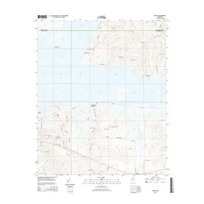
2015 Map of Kincaid
USGS Topo · Published 2015About this map
Grenada Lake dominates the northern landscape of this Mississippi region, where the water meets the prominent elevations of Crescent Ridge and Carver Bluff. This 2015 survey reveals a terrain defined by its water-level fluctuations and the small communities that have developed along its southern shores, such as Choctaw and Cape Retreat. The map captures a high density of small, family-named burial grounds, including Stephons Cem, York Cem, and Barnard Cem, which are scattered throughout the wooded hills and along the county boundary between Yalobusha and Grenada. The southern portion is drained by several waterways, most notably Hurricane Branch and Redgrass Creek. The network of rural roads like Old MS-8 and Rounsaville Church Rd provides a detailed look at the rural settlement patterns existing in the early 21st century.
Find a feature on this map
60 named features on this map. Tap any name to fly to it.
Don’t see what you’re looking for? This feature index may not catch every label — zoom into the map to look around manually.
Map Details
Editions of this 2015 Kincaid Map
This is the sole edition of this map. No revisions or reprints were ever made.
Other maps of this area

1953 · West Point
USGS Topo · 1:250,000

1954 · Grenada
USGS Topo · 1:62,500

1954 · Duck Hill
USGS Topo · 1:62,500

1954 · McCarley
USGS Topo · 1:62,500

1955 · Coffeeville
USGS Topo · 1:62,500

1958 · West Point
USGS Topo · 1:250,000

1963 · West Point
USGS Topo · 1:250,000
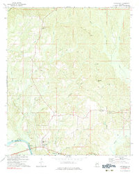
1971 · Coffeeville
USGS Topo · 1:24,000
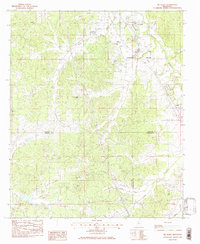
1983 · Tie Plant
USGS Topo · 1:24,000
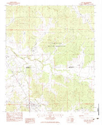
1983 · Duck Hill
USGS Topo · 1:24,000