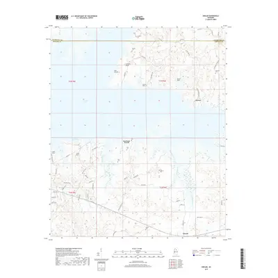
2018 Map of Kincaid
USGS Topo · Published 2018About this map
Grenada Lake dominates the western portion of this Mississippi landscape, where the inundated shoreline creates numerous peninsulas and inlets such as Old Orchard Bay. Along the eastern and southern shores, the terrain is marked by distinctive points and ridges including Cape Retreat, Carver Bluff, and the elevation of Little Mtn. The settlement pattern is largely rural, concentrated around small communities like Choctaw and Kincaid, while the interior is crisscrossed by a network of creeks such as Knight Creek and Hurricane Branch.
Find a feature on this map
63 named features on this map. Tap any name to fly to it.
Don’t see what you’re looking for? This feature index may not catch every label — zoom into the map to look around manually.
Map Details
Editions of this 2018 Kincaid Map
This is the sole edition of this map. No revisions or reprints were ever made.
Other maps of this area

1953 · West Point
USGS Topo · 1:250,000

1954 · Grenada
USGS Topo · 1:62,500

1954 · Duck Hill
USGS Topo · 1:62,500

1954 · McCarley
USGS Topo · 1:62,500

1955 · Coffeeville
USGS Topo · 1:62,500

1958 · West Point
USGS Topo · 1:250,000

1963 · West Point
USGS Topo · 1:250,000
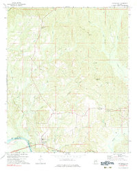
1971 · Coffeeville
USGS Topo · 1:24,000
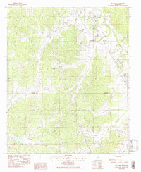
1983 · Tie Plant
USGS Topo · 1:24,000
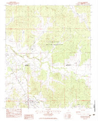
1983 · Duck Hill
USGS Topo · 1:24,000