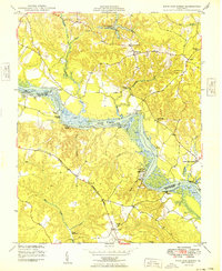
1949 Map of King And Queen
USGS Topo · Published 1949About this map
The Mattaponi Indian Reservation sits along a dramatic bend of the Mattaponi River, serving as a central geographic anchor for this Tidewater landscape. This survey captures a rural network of small communities and landing sites in the late 1940s, where river access remained vital at points like Scotland Landing and Courthouse Landing. Historically significant travel corridors are explicitly noted, including the Pamunkey Trail and the Washington Burgess Route, reflecting the area's deep colonial and indigenous heritage.
Find a feature on this map
59 named features on this map. Tap any name to fly to it.
Don’t see what you’re looking for? This feature index may not catch every label — zoom into the map to look around manually.
Map Details
Editions of this 1949 King And Queen Map
2 editions found
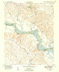
Other maps of this area

1918 · Tappahannock
USGS Topo · 1:62,500

1918 · Aylett
USGS Topo · 1:62,500

1919 · New Kent
USGS Topo · 1:62,500

1919 · Tappahannock
USGS Topo · 1:62,500

1920 · King William
USGS Topo · 1:62,500

1933 · Aylett
USGS Topo · 1:62,500

1943 · Richmond
USGS Topo · 1:250,000

1944 · Dunnsville
USGS Topo · 1:31,680
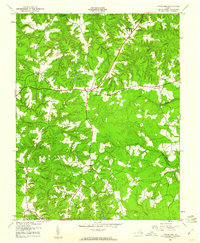
1944 · Howertons
USGS Topo · 1:24,000
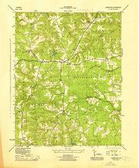
1945 · Howertons
USGS Topo · 1:31,680