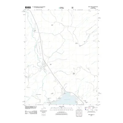
2011 Map of King Creek
USGS Topo · Published 2011About this map
Green Mountain Reservoir dominates the southern landscape of this Summit County quadrangle, formed by the Green Mountain Dam along the northward-flowing Blue River. The area serves as a significant recreation and industrial hub, featuring several established sites such as the Green Mountain Camp, Willows Campground, and Big Green Campground. This mountain terrain is characterized by a history of extraction, evidenced by the presence of the Arizoba Mine, Happy Dreams Mine, and Big Four Mine situated near the high peaks of Copper Mountain and the slopes of Green Mountain. A network of backroads like Sheephorn Rd and County Rd 1003 provides access to remote landmarks such as the Smith Ranch and the high ridges of Lawson Ridge. The map details the complex drainage system of the basin, where King Creek and Elliott Creek feed into the primary river valley.
Find a feature on this map
54 named features on this map. Tap any name to fly to it.
Don’t see what you’re looking for? This feature index may not catch every label — zoom into the map to look around manually.
Map Details
Editions of this 2011 King Creek Map
This is the sole edition of this map. No revisions or reprints were ever made.
Other maps of this area

1933 · Mt. Powell
USGS Topo · 1:48,000

1933 · Ute Peak
USGS Topo · 1:62,500

1937 · Ute Peak
USGS Topo · 1:62,500

1940 · Mount Powell
USGS Topo · 1:62,500

1954 · Craig
USGS Topo · 1:250,000

1956 · Kremmling
USGS Topo · 1:62,500

1957 · Craig
USGS Topo · 1:250,000

1957 · Hot Sulphur Springs
USGS Topo · 1:62,500

1957 · Leadville
USGS Topo · 1:250,000

1958 · Craig
USGS Topo · 1:250,000