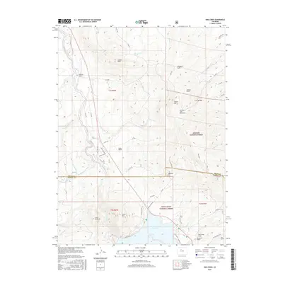
2016 Map of King Creek
USGS Topo · Published 2016About this map
Green Mountain Reservoir dominates the southern landscape of this 2016 survey, where the Blue River flows through the high-altitude terrain of the Colorado Rockies. The boundary between Grand Co and Summit Co cuts across the center of the sheet, dividing a region defined by federal protected lands including the Arapaho National Forest and White River National Forest. Early agricultural and water-management efforts are visible through features like the Noonan Ditch, which traverses the slopes near Miller Gulch.
Find a feature on this map
66 named features on this map. Tap any name to fly to it.
Don’t see what you’re looking for? This feature index may not catch every label — zoom into the map to look around manually.
Map Details
Editions of this 2016 King Creek Map
This is the sole edition of this map. No revisions or reprints were ever made.
Other maps of this area

1933 · Mt. Powell
USGS Topo · 1:48,000

1933 · Ute Peak
USGS Topo · 1:62,500

1937 · Ute Peak
USGS Topo · 1:62,500

1940 · Mount Powell
USGS Topo · 1:62,500

1954 · Craig
USGS Topo · 1:250,000

1956 · Kremmling
USGS Topo · 1:62,500

1957 · Craig
USGS Topo · 1:250,000

1957 · Hot Sulphur Springs
USGS Topo · 1:62,500

1957 · Leadville
USGS Topo · 1:250,000

1958 · Craig
USGS Topo · 1:250,000