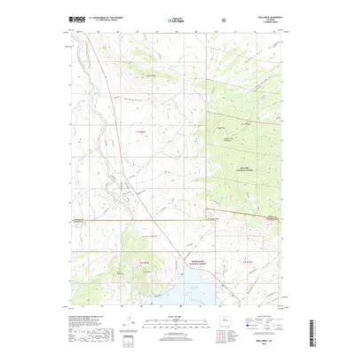
2019 Map of King Creek
USGS Topo · Published 2019About this map
Green Mountain Reservoir dominates the southern portion of this high-altitude landscape where the Blue River flows north toward the Grand Co and Summit Co line. This modern survey illustrates a topography defined by significant drainages and ridgelines, including Lawson Ridge and the Williams Fork Mountains. The area is bisected by the border of Arapaho National Forest and White River National Forest, indicating a region heavily managed for public land use and watershed protection. Access is primarily through a network of county roads and specialized routes like Heeney Road and Sheep Horn Rd. The map details local water management through features such as the Noonan Ditch and numerous named gulches like McQueary Gulch and Munford Gulch, which feed into the primary river system.
Find a feature on this map
65 named features on this map. Tap any name to fly to it.
Don’t see what you’re looking for? This feature index may not catch every label — zoom into the map to look around manually.
Map Details
Editions of this 2019 King Creek Map
This is the sole edition of this map. No revisions or reprints were ever made.
Other maps of this area

1933 · Mt. Powell
USGS Topo · 1:48,000

1933 · Ute Peak
USGS Topo · 1:62,500

1937 · Ute Peak
USGS Topo · 1:62,500

1940 · Mount Powell
USGS Topo · 1:62,500

1954 · Craig
USGS Topo · 1:250,000

1956 · Kremmling
USGS Topo · 1:62,500

1957 · Craig
USGS Topo · 1:250,000

1957 · Hot Sulphur Springs
USGS Topo · 1:62,500

1957 · Leadville
USGS Topo · 1:250,000

1958 · Craig
USGS Topo · 1:250,000