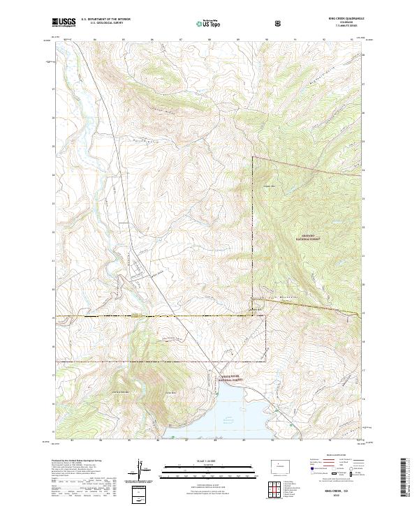
2022 Map of King Creek
USGS Topo · Published 2022About this map
The Blue River valley serves as the central artery for this high-elevation landscape, where the northern waters of Green Mountain Reservoir are contained within the White River National Forest. The transition from the valley floor to the ridgelines is marked by significant topographical shifts, notably towards the Williams Fork Mountains and Williams Divide. Along the southern shore of the reservoir, Willows Campground and Heeney Road provide access to the water, while the Haystack Powerline cuts across the terrain near Haystack Mtn.
Find a feature on this map
68 named features on this map. Tap any name to fly to it.
Don’t see what you’re looking for? This feature index may not catch every label — zoom into the map to look around manually.
Map Details
Editions of this 2022 King Creek Map
This is the sole edition of this map. No revisions or reprints were ever made.
Other maps of this area

1933 · Mt. Powell
USGS Topo · 1:48,000

1933 · Ute Peak
USGS Topo · 1:62,500

1937 · Ute Peak
USGS Topo · 1:62,500

1940 · Mount Powell
USGS Topo · 1:62,500

1954 · Craig
USGS Topo · 1:250,000

1956 · Kremmling
USGS Topo · 1:62,500

1957 · Craig
USGS Topo · 1:250,000

1957 · Hot Sulphur Springs
USGS Topo · 1:62,500

1957 · Leadville
USGS Topo · 1:250,000

1958 · Craig
USGS Topo · 1:250,000