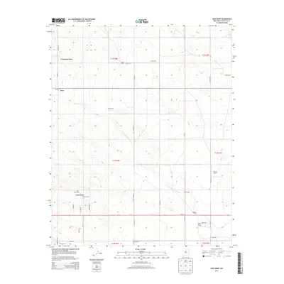
2013 Map of King Draw
USGS Topo · Published 2013About this map
Cedar Grove and the surrounding ranchlands of Santa Fe County are defined by wide drainage basins and a scattered network of family-held properties. This high-desert landscape is incised by the seasonal watercourse of Cañada de la Narrias, which flows toward the southern draws. The area's mid-twentieth-century settlement pattern is visible through named holdings like P Simmons Place, Van Scoyk Ranch, and King Bros Ranch.
Find a feature on this map
40 named features on this map. Tap any name to fly to it.
Don’t see what you’re looking for? This feature index may not catch every label — zoom into the map to look around manually.
Map Details
Editions of this 2013 King Draw Map
This is the sole edition of this map. No revisions or reprints were ever made.
Other maps of this area

1892 · San Pedro
USGS Topo · 1:125,000

1894 · Lamy
USGS Topo · 1:125,000

1954 · San Pedro
USGS Topo · 1:24,000

1954 · Edgewood
USGS Topo · 1:24,000

1954 · Santa Fe
USGS Topo · 1:250,000

1956 · Edgewood
USGS Topo · 1:62,500

1958 · Santa Fe
USGS Topo · 1:250,000

1958 · Albuquerque
USGS Topo · 1:250,000

1960 · Stanley
USGS Topo · 1:62,500

1961 · Madrid
USGS Topo · 1:62,500