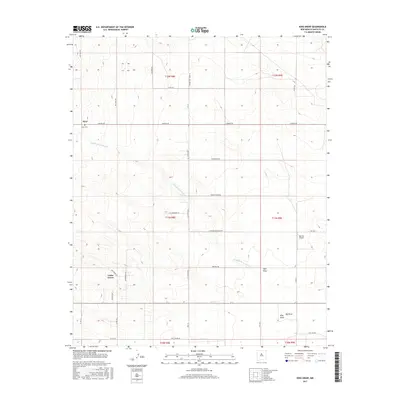
2017 Map of King Draw
USGS Topo · Published 2017About this map
Cedar Grove and Hyer anchor this high-desert landscape in Santa Fe County, where the terrain is defined by a network of drainage channels including Hyer Draw, King Draw, and Big Draw. The map reveals a transition from traditional ranching roots to contemporary land use, evidenced by the presence of Big Sky Airport and a grid of rural residential roads with descriptive names like Broken Spoke Rd, Beefalo Rd, and E Prairie Schooner Rd.
Find a feature on this map
43 named features on this map. Tap any name to fly to it.
Don’t see what you’re looking for? This feature index may not catch every label — zoom into the map to look around manually.
Map Details
Editions of this 2017 King Draw Map
This is the sole edition of this map. No revisions or reprints were ever made.
Other maps of this area

1892 · San Pedro
USGS Topo · 1:125,000

1894 · Lamy
USGS Topo · 1:125,000

1954 · San Pedro
USGS Topo · 1:24,000

1954 · Edgewood
USGS Topo · 1:24,000

1954 · Santa Fe
USGS Topo · 1:250,000

1956 · Edgewood
USGS Topo · 1:62,500

1958 · Santa Fe
USGS Topo · 1:250,000

1958 · Albuquerque
USGS Topo · 1:250,000

1960 · Stanley
USGS Topo · 1:62,500

1961 · Madrid
USGS Topo · 1:62,500